Maps basics
At present, we use mobiles to get around. Thanks to the GPS we can go where we want easily.
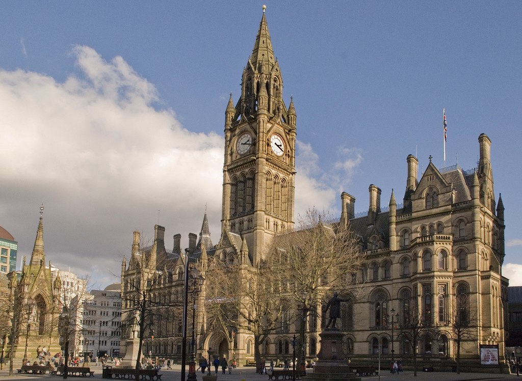
We can check on the computer maps of cities worldwide. Also we can have a look at real streets of Manchester or London.
Traditional maps in paper or pictures are still very useful, for example to find our way in buildings or in a zoo. In addition, basic things about maps are still very helpful today. Watch the video below:
What are Maps? - Learn & Grow Kids Geography Lesson. LeapFrog. (Accessed on 08/05/18).
TIME FOR...

Chalkboard blackboard. Prawny. Pixabay. CC0
Step 1. Find the pair, match these words with other words/phrases:
- Scale
- Key (symbols)
- Countries
- Compass rose
- Cities and landmarks
- North - East - South - West
- Legend
- Distance between places
Use a piece of paper.
You can use Cambridge dictionary in case of any doubt.
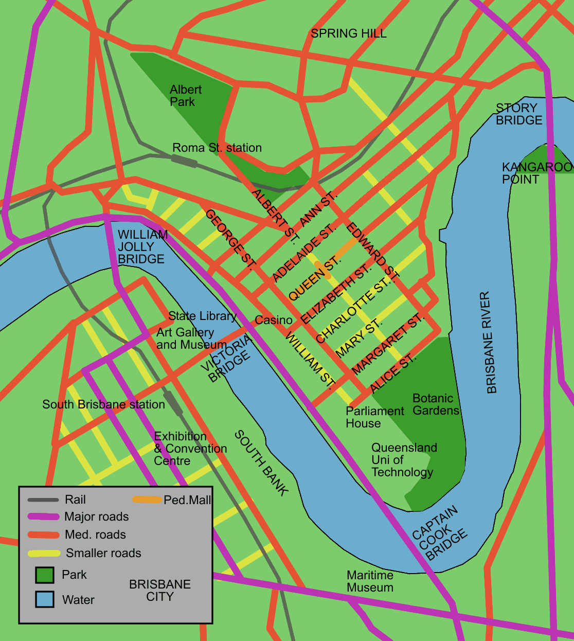
Brisbane map of city cbd. Diceman. Wikipedia.CC BY-SA
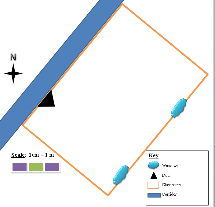
Step 2. Complete the map with the missing information:
Add to the map the following information, find the map attached in a worksheet.
- Scale: draw a scale, 1cm : 100metres. Indicate 200 and 500 metres.
- Compass Rose: where is the North? Draw it.
- Key: use symbols for bridges, buildings (universities, stations, museums, parks, public buildings, landmarks such as the Casino).
Here you have a little help with the cardinal points. Look up the words in the Cambridge dictionary:
North
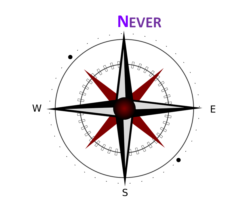
North Never modiffied from Compass East. Chrystalizabeth. Pixabay. CC0.
East
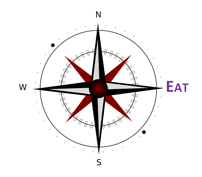
East Eat modiffied from Compass East. Chrystalizabeth. Pixabay. CC0.
South
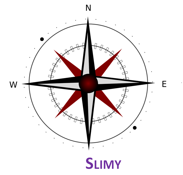
South Slimy modiffied from Compass East. Chrystalizabeth. Pixabay. CC0.
West
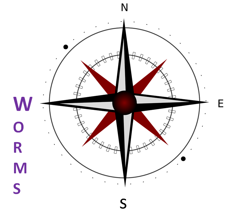
West Worms modiffied from Compass East. Chrystalizabeth. Pixabay. CC0.
Never eat slimy worms!
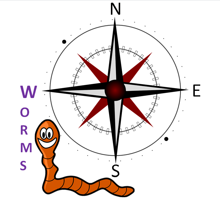
NESW modiffied from Compass East. Chrystalizabeth. Pixabay. CC0 and Earthworm Worm. OpenClipart-Vectors. Pixabay. CC0
- Check the Feedback tab: do you understand Never Eat Slimy Warms?
- When you finish switch pairs and talk about the map. You can ask how far a place is: measure the distance with the ruler and calculate.
- Ask about cardinal points: for example, is Spring Hill South?